|
|
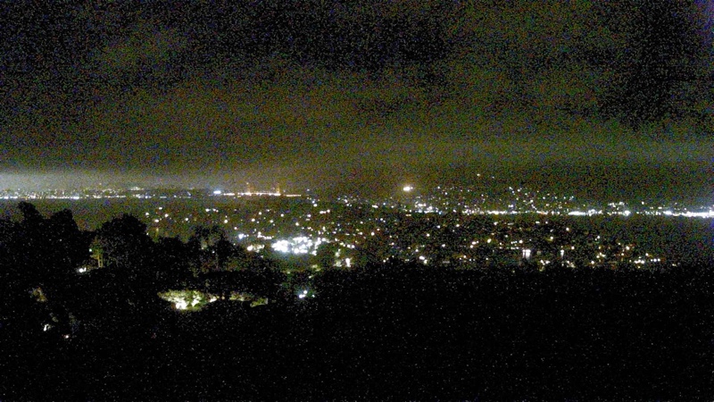
Trailcams - fog in the North Bay |
Try Neil's Fun Finder!' (free)!
Updated 03:30 Pacific
Click on ![]() to see location and appearance.
to see location and appearance.
Tiburon looking southwest toward Sausalito and GGB

Location:
|
On a clear day:
Close |
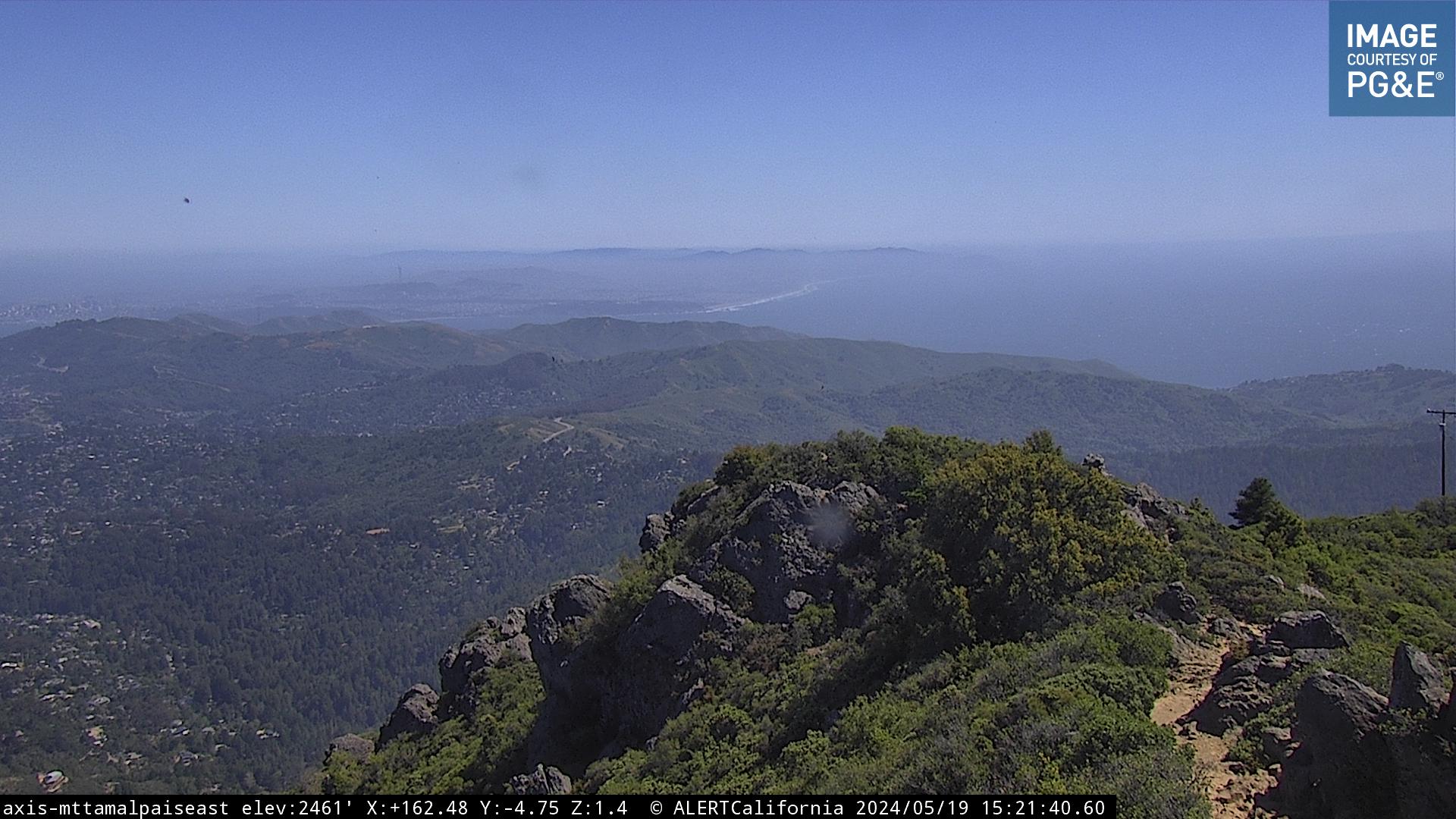
Mt Tam East Peak looking south to Headlands, Presidio and Lands End
Location:
|
On a clear day:
Close |
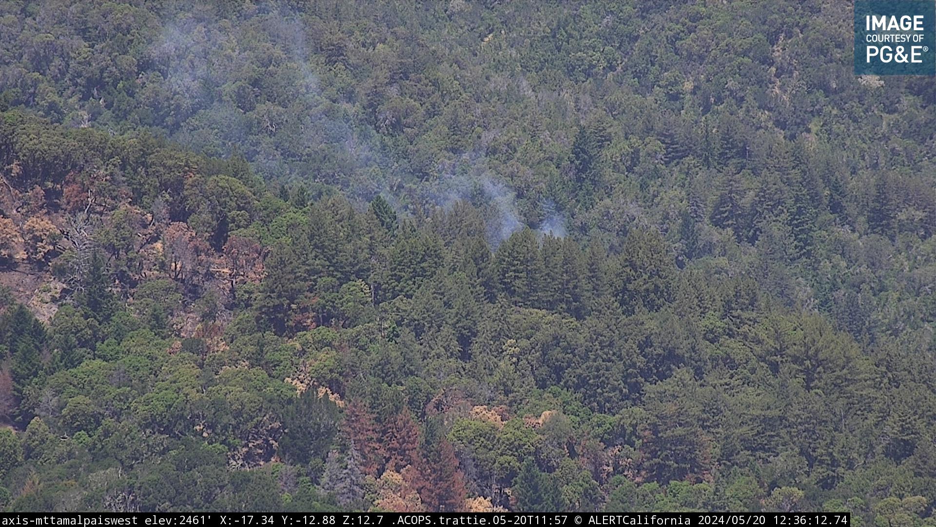
Mt Tam East Peak looking west to Lake Bon Tempe
Location:
|
On a clear day:
Close |
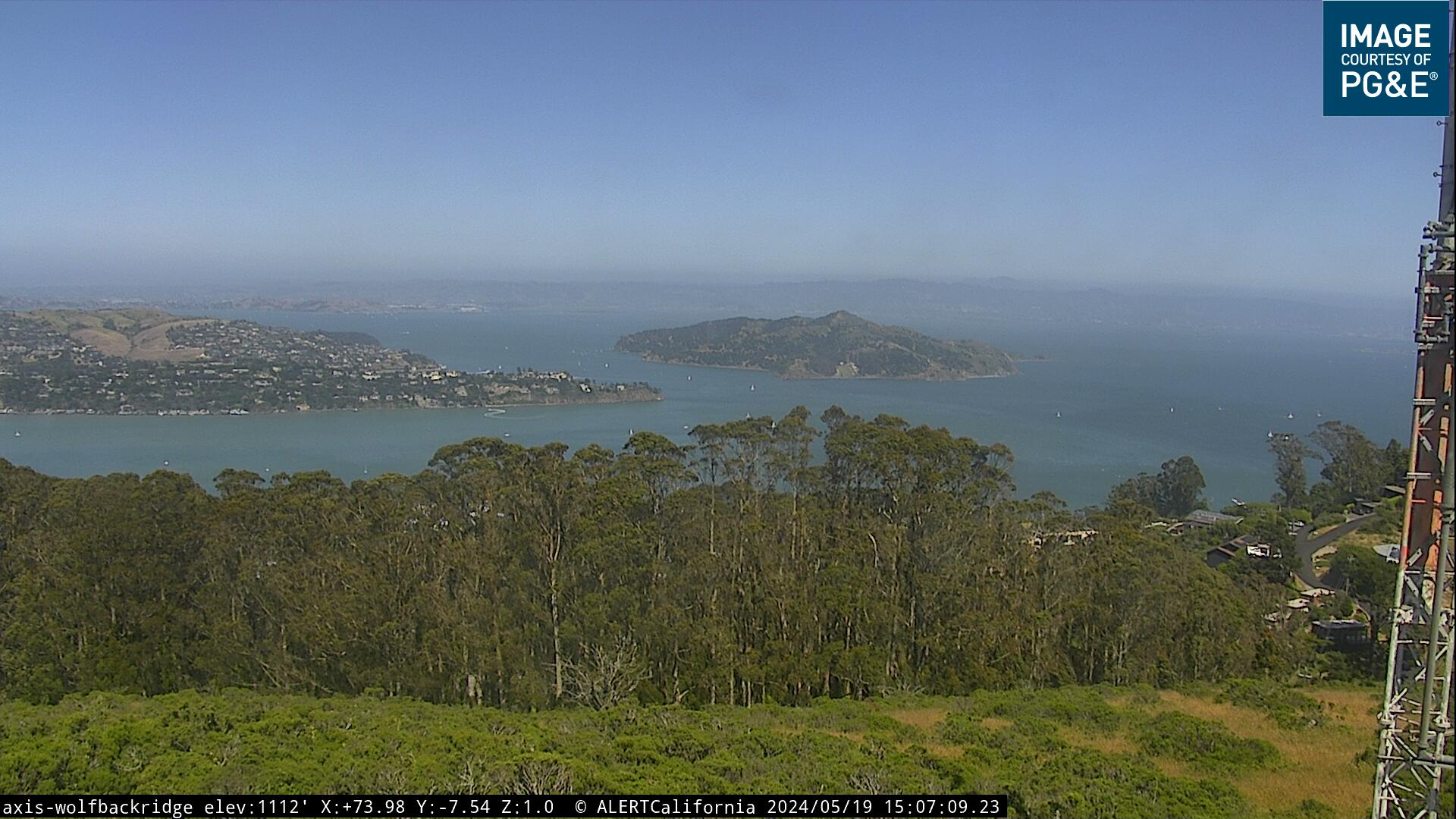
Sausalito, Wolfback Ridge looking east over 101 to Belvedere and Angel Island
Location:
|
On a clear day:
Close |
Tiburon - Sam's cafe
Location:
|
On a clear day:
Close |
St. Francis Yacht club webcam towards GGB
Location:
|
On a clear day:
Close |
San Rafael looking north to Civic Center on the right and the ridge above Lucas Valley
Location:
|
On a clear day:
Close |

Location:
|
On a clear day:
Close |

Big Rock Ridge looking north toward Novato
Location:
|
On a clear day:
Close |

West Marin - Mt Barnabe northwest towards Tomales Bay
Location:
|
On a clear day:
Close |

West Marin - Nicasio Hills looking west
Location:
|
On a clear day:
Close |

Muir Beach looking southeast towards San Francisco's western edge
Location:
|
On a clear day:
Close |
Point Reyes Lighthouse looking north towards beach.
Location:
|
On a clear day:
Close |

Bay Bridge and Oakland, from downtown San Francisco
Location:
|
On a clear day:
Close |
San Francisco - rotates from GGB to Alcatraz, from a tall point in downtown
Location:
|
On a clear day:
Close |
San Francisco - rotates from 101 split entering city, and Civic Center, to other places west, from a tall point downtown
Location:
|
On a clear day:
Close |
Stinson Beach webcam (external site) - need to watch 20 second ad first
Stinson
Satellite view - West Coast USA
